This month at YAC the topic was Aerial Photographs (APs). First members learnt about different types of AP, such as Verticals (photos taken from directly above the ground) and Obliques (photos taken at an angle). Then we asked ‘But what do archaeologists look for in an AP? This led us on to crop-marks, low profile sites, excavations and much more!

In teams we were given the challenge to sort 15 aerial photographs into these different categories. Then came the scientific (i.e. messy!) bit. Each group made a model crop-mark, using soil, gravel and grass seed. Some made positive crop marks – where the grass should grow taller over the archaeology, others made negative crop-marks – where the grass should grow shorter over the archaeology.
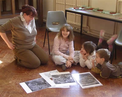
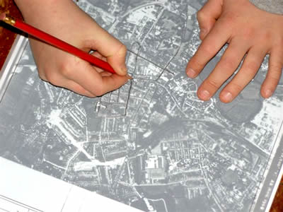
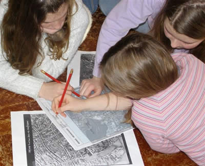
We finished off by looking at aerial photos of Salisbury from the 1940s,50s,60s and 70s. Members spotted lots of changes that had taken place and used the photographs to draw maps.


