This month YAC members all met up at Old Sarum. The theme for this session was surveying – what can archaeologists learn about a site without doing any digging??
Members had a go at two different surveying activities: standing building recording and landscape archaeology.

Standing building recording
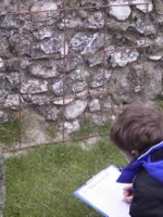
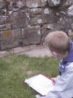
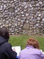
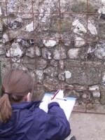
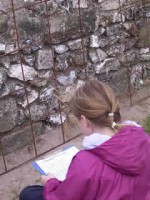
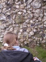
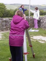
Members were taken into the Great Tower of the Norman Castle. Their task was to use a planning frame to draw a 1m by 1m square of the wall.
But their paper wasn’t 1m by 1m – this meant that they had to draw it to scale! They drew their elevations – the archaeological word for a drawing of a wall – at 1 to 10 (1:10). This meant that every 1cm on their graph paper represented 10cms of wall.
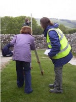
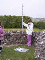
After they had drawn and labelled their elevations they had a go at using a dumpy level to work out the height of the top of their elevations.

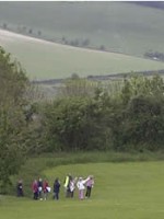
Landscape archaeology
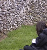
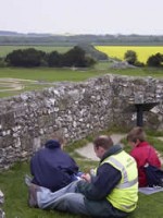
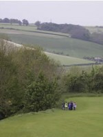
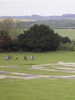
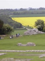
Members were taken on a tour around the Outer Bailey, part of the original Iron Age ditch, and had to visually survey – look at – the landscape. They had to look at the landscape today and try to work out;
- What it might have looked like in the past?
- What bits have changed?
- What bits haven’t changed?
- Why did the Iron Age peoples build their hillfort here?
- Why was Old Sarum re-used by the Romans and Normans?
- Members answered all of these questions and many more.